
Digital Revolution in Geomatics Engineering: From Tape Measure to 3D Laser Scanning
- KG-Blogger

- Jan 2
- 3 min read

Throughout history, geomatics engineering has produced the most precise solutions for "defining location" and "documenting space." Measurements made for years with tape measures, ranging poles, and optical levels first gave way to electronic tachometers (Total Stations), and now to 3D laser scanning technologies capable of collecting millions of data points per second.
So, what has this transformation gained for our projects? Why is laser scanning technology no longer a luxury but a necessity in the construction and engineering world? In this article, we focus on the evolution of surveying technologies and their current state.
From a Single Point to Millions
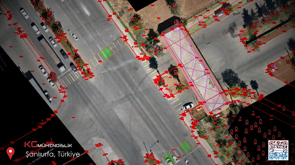
In traditional surveying methods, "selected points" were taken to document the site conditions. When creating an as-built drawing of a building, corner points were read with a Total Station, while intermediate details were often measured manually or assumed. This method was both time-consuming and prone to "human error." If you forgot to measure a column after returning from the field, you had no choice but to go back.
Today, 3D laser scanning technology has completely changed this paradigm. We no longer select individual points; our scanner captures everything around it (walls, pipes, beams, even cracks on the floor) with millimeter precision. The result? A complete digital twin representing the site exactly in a virtual environment.
Working Principle of Laser Scanning Technology
Laser scanning is based on the principle of sending laser beams onto objects and calculating X, Y, Z coordinates by measuring the return times or phase shifts of these beams. Modern devices (such as the high-end Leica RTC360 we use in our projects) can collect up to 2 million points per second.
This intense data flow creates what we call a "Point Cloud." This cloud contains not only geometric data but also the color and texture of the scanned surface. So, we no longer have just a map, but a 3D, measurable photograph of the structure.
Why Choose 3D Laser Scanning?

The main reasons for the sector's rapid adaptation to laser scanning technology are:
Speed and Efficiency: As-built measurements that would take days can be completed in hours with laser scanning.
Zero Error Margin: Manual measurement errors are eliminated. Millimeter precision is vital, especially in industrial facilities and historical building restorations.
Data Integrity: There is no risk of returning from the field with missing data. When a scan is performed, everything present at that moment is recorded. There is no need to return to the site for a detail that might be needed in the future.
Safety: Hard-to-reach or dangerous areas (high facades, risky tunnels) are scanned remotely, minimizing occupational safety risks.
The Latest Point in Technology: Scan-to-BIM
Technology has not only revolutionized data collection but also data processing. Point clouds obtained with 3D laser scanning are now transferred directly to BIM (Building Information Modeling) software.
Thanks to the "Scan-to-BIM" process, a smart 3D model of an existing structure can be created. Static analyses, renovation projects, or clash detection of mechanical/electrical systems can be performed on this model.
Conclusion
Geomatics engineering has undergone a major evolution on its journey from tape measures to laser scanners. As KG Engineering, we are at the center of this transformation, using state-of-the-art laser scanning systems to provide the most accurate, fastest, and most reliable data in your projects.
To build the future, one must measure today precisely.


Comments