
Breaking Speed Records on Site with Leica RTC360: How We Deliver Your Projects in Half the Time
- KG-Blogger

- Dec 24, 2025
- 2 min read

In the construction and architecture industry, time is the most valuable resource. Fieldwork that takes weeks with traditional measurement methods or older generation scanners can delay a project's entire schedule. We are revolutionizing this process with the state-of-the-art Leica RTC360 3D laser scanner. But what does this device bring to us—and to you? Here is the secret to how we deliver your projects in half the time compared to traditional methods.
1. Lightning Fast: 2 Million Points Per Second
The Leica RTC360 is capable of capturing 2 million measurement points per second. This means the detailed surveying of a complex industrial plant or a historical building is completed in mere minutes. While a single scan takes 10–15 minutes with older devices, we complete it with the Leica RTC360—including high resolution and HDR photos—in under 2 minutes. This speed allows us to work in operating factories or high-traffic areas without disrupting operations.
2. VIS Technology: Automatic Field Registration
The biggest revolution that boosts our speed is the VIS (Visual Inertial System) technology found in the Leica RTC360. This system tracks the scanner's position in real-time via cameras and sensors as we move the device from one room to another.
What does this mean for you? The "scan registration" (data merging) process, which usually takes hours back in the office, happens automatically on the tablet while we are still on site. Since the data is pre-aligned, the office workload is drastically reduced, and we can deliver the 3D laser scanning data to you much faster.
3. Complete Data, Zero Return Trips
Realizing back at the office that an area was "missed" during scanning is a nightmare for any project. Thanks to the Leica RTC360 and its integrated mobile software, we visualize the scanned area in 3D instantly on a tablet. We check for any blind spots while still on site. This ensures that the data is 100% complete when we leave the field. The cost and time loss of returning to the site are completely eliminated.
4. Flawless Documentation with HDR Image Quality
Speed isn't just about collecting geometric data; it's also about capturing visual information perfectly. The Leica RTC360 captures high dynamic range (HDR) 360-degree photos of the environment with every scan. Whether in dark basements or very bright exterior facades, we obtain clear, colorful, and vivid images in all lighting conditions. These images allow architects and engineers to virtually visit the site as if they were physically there.
Conclusion: Fast, Precise, and Reliable
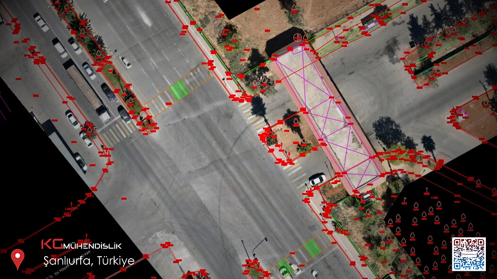
From large-scale hotel projects (e.g., over 50,000 m²) to complex industrial facilities, we use the Leica RTC360 for one simple reason: To save our clients time.
If you want your as-built documentation and modeling processes to be completed rapidly, your construction site to remain uninterrupted, and to receive millimetric data, meet our team that uses the latest technology. When you work with us, you gain not just a surveying service, but a solution partner that accelerates your project.


Comments