
Drone orthomosaic and SYM/SAM: Why are both needed in the same project?
- KG-Blogger

- Mar 30
- 2 min read
Drone-generated orthophotos represent an area as a single, surveyed image; however, many projects are not completed with just a “pretty map.” Elevation models such as SYM (DSM) or SAM (DTM) are required for decisions regarding elevation, volume, slope, and drainage. This article describes how orthophotos and numerical models work together and which approach meets which needs.

What is the function of orthomosaic acid, and what is it not used for?
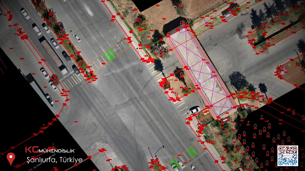
Orthomosaic offers a robust 2D visualization basis for representing site plans, zone boundaries, construction site layouts, or landscape outlines . However, this alone is not sufficient:
If one considers a cross-section ,
To reliably calculate the excavation and backfill volume ,
Modeling the water flow
For tasks like these, it may not be sufficient, as these tasks require the conversion of elevation data into a numerical model .
SYM and SAM: The practical answer to the question "What does SYM mean?"
Brief description:
SYM (DSM): A visible surface model that includes structures, trees, etc. above the Earth's surface .
SAM (DTM): Generally represents the unvegetated terrain surface ; is often preferred in excavation and backfilling projects as well as in route planning.
Both digital surface models (DSM) and digital terrain models (DTM) can be generated from the same drone dataset, depending on the quality of processing and classification. The crucial factor is the definition and accuracy class required in the specification.
Three factors determine the accuracy of drone mapping.
Overlap and image quality (wind, exposure, geometry)
Soil control (GCP/GCP distribution and geodetic consistency)
Processing of the software settings and the quality control report.
If these three factors are weak, the jeans can wobble, even if the orthomosaic style looks "straight".

Diploma
Drone orthomosaics accelerate the project; SYM/SAM makes decisions measurable . Joint planning of both methods reduces the risk of rework and inconsistencies in the field.
KG Engineering and its team in Istanbul offer comprehensive support for drone-based mapping, existing processes and technical measurements .
info@kgmuhendislik.com | (0536) 232 69 12


Comments