
Leica RTC360: 6 control points for the field
- KG-Blogger

- Mar 30
- 2 min read
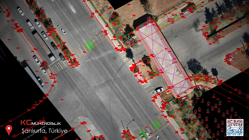
While search queries like "RTC360," "laser scanner," and "scan speed" often seem to focus on the device's technical specifications , hardware alone isn't the deciding factor for professional results. This article presents a practical checklist for the Leica RTC360 to help you avoid common mistakes during use.

1) Clarify the scope: Not “everything”, but “everything that is correct”.
First, answer these questions:
Submission: Point cloud, 2D survey or BIM?
Level of detail: Which elements will be included in the model?
Access restrictions, opening hours, safety precautions?
2) Create the station plan in advance.
Blind spots, glass surfaces, and long corridors alter the scan plan. With systems like the RTC360, "gaps" appear in the office if overlaps and viewing angles are not chosen correctly.
3) Goal and control: Combining the measurements
Even small deviations accumulate in large buildings. Geodetic control or the use of consistent target markers reduces coupling errors , especially in multi-station operation.
4) HDR / Image: Not just aesthetics, but also workplace safety.
Image-based recordings save time later when you ask yourself: "What was that detail?" Adjustments should not be neglected in dark or high-contrast areas.
5) Office processing: Raw data ≠ delivery
If the level of detail (LOD) and tolerances are not clearly defined during data cleansing, segmentation, and modeling, the BIM result becomes debatable. Therefore, a common language between project stakeholders (architects/building engineers) is essential.
6) Define the delivery format early.
DWG, IFC, RCP/RCS-like streaming services… Each of these formats has a different equivalent in the customer ecosystem. Format changes at a late stage are costly.
Diploma
The Leica RTC360 is a powerful tool for field use; however, even "fast scanning" can be delayed without planning, control, and a defined delivery plan . The right question is not "How many points per second?" but "With what accuracy and in what format will this project be completed?"
KG Engineering – Istanbul-based provider of 3D/3B laser scanning and Leica RTC360 field devices | info@kgmuhendislik.com | +44 536 232 69 12

Comments